Geographic information system (GIS) developer Esri has bestowed two Canadian organizations, including the City of Brampton, with 2018 Esri Special Achievement in GIS Awards.
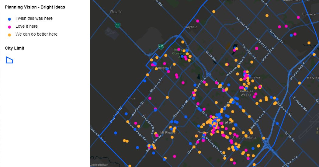
The city, a Toronto suburb-turned economic force in its own right, won for its use of Esri’s technology in building the Brampton GeoHub, an open data portal that not only gives residents easy access to civic information such as property maps, bike maps, and zoning by-laws, but invites businesses to analyze and integrate the data into their own projects too.
The other Special Achievement Award recipient was Toronto-based online property search and registration services provider Teranet, which has migrated its data onto Esri’s ArcGIS platform and according to Esri is now recognized as having one of the most advanced land registration systems in the world.
San Diego-based Esri announced the winners, which were chosen from thousands of customers worldwide for their effective implementation of its GIS technology, during its Esri User Conference on Thursday.
“Both Brampton and Teranet, each with very different requirements, have seen an almost immediate return on their investment,” Esri Canada president Alex Miller said in a July 12 statement. “Teranet has a massive amount of data to store and manipulate, and they require very high security on that data. Brampton is using their GeoHub to better serve their residents while saving a huge amount of staff time.”

Though it wasn’t launched in its current form until 2016, Brampton’s GeoHub represents the culmination of a multi-year, multi-department effort that began in 2011, when the city launched its first open data portal as part of its Open Government initiative. (And because Ontario’s provincial government began required all municipalities to release their facilities’ energy consumption and greenhouse gas emissions data.)
In 2015 the city upgraded the portal to Esri’s ArcGIS Open Data platform, which it initially used to host 15 datasets online. At the end of 2016, the city officially rebranded its platform as the Brampton GeoHub – and according to a statement by City of Brampton GIS and Open Data team lead Matthew Pietryszyn, the savings were immediate.
“In the first year, the GeoHub saved the City about 588 hours of staff time, and the open datasets found on the site and used by the public rose from 15 to 154,” Pietryszyn said in the July 12 statement. “Municipal leaders now understand that when you make good, purposeful data available publicly, it’s easier for businesses to make the decision to locate in their city. Students have access to accurate data to analyze and understand their city. Small businesses benefit and are able to better grow the local economy.”
You can read more about Brampton developed the GeoHub here.
You can also view the full list of Esri’s Special Achievement in GIS Award winners – there are around 200, from around the world and in multiple categories including mining, conservation, and city/town, with Brampton and Teranet representing Canada – here.
